blob: ebba63b5672c79ddfc1c4fd696f4acea02f5d7fb (
plain)
1
2
3
4
5
6
7
8
9
10
11
12
13
14
15
16
17
18
19
20
21
22
23
24
25
26
27
28
29
30
31
32
33
34
35
36
37
38
39
40
41
42
43
44
45
46
47
48
49
50
51
52
53
54
55
56
57
58
59
|
# Navit [](https://circleci.com/gh/navit-gps/navit) [](https://www.codefactor.io/repository/github/navit-gps/navit) [](https://hosted.weblate.org/engage/navit/)
_A copylefted libre software car-navigation system with its own routing engine_.
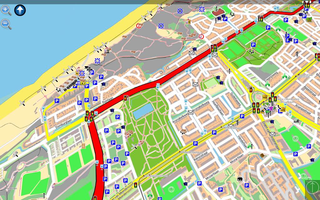
On an Android tablet \
 \
On a Linux-based carputer \
 \
[<img src="https://fdroid.gitlab.io/artwork/badge/get-it-on.png"
alt="Get it on F-Droid"
height="130">](https://f-droid.org/packages/org.navitproject.navit/)
[<img src="https://play.google.com/intl/en_us/badges/images/generic/en-play-badge.png"
alt="Get it on Google Play"
height="130">](https://play.google.com/store/apps/details?id=org.navitproject.navit) \
Modular design with routing and rendering of one or more vector maps in various formats. \
GTK and SDL user-interfaces with touch-screen displays. \
Current vehicle position from gpsd or directly from NMEA (GPS) sensors. \
Optimal routes and directions spoken in 70+ languages. \
Points of interest (POIs) in many formats.
Help and more info available on [the wiki](https://navit.readthedocs.io/en/v0.5.6/). \
The [Reporting Bugs](http://wiki.navit-project.org/index.php/Reporting_Bugs) document helps you file issues.
Maps
====
[OpenStreetMap](https://wiki.navit-project.org/index.php/OpenStreetMap) — display, routing, incomplete street-name search. \
[Grosser Reiseplaner](https://wiki.navit-project.org/index.php/Marco_Polo_Grosser_Reiseplaner) and compliant maps — full support. \
[Garmin maps](https://wiki.navit-project.org/index.php/Garmin_maps) —display, routing, search is being worked on.
GPS Support
===========
Current vehicle position from \
— a file or port. \
— gpsd (local or remote). \
— the location service of several mobile platforms. \
— a UDP server (friends tracking) (experimental).
Translation
===========
The [Hosted Weblate](https://hosted.weblate.org/projects/navit/) platform is used to manage translations, which runs [Weblate](https://weblate.org).
<a href="https://hosted.weblate.org/engage/navit/">
<img src="https://hosted.weblate.org/widgets/navit/-/horizontal-auto.svg" alt="Translation status" />
</a>
Routing algorithm
=================
Uses [LPA*](https://wikiless.org/wiki/Lifelong_Planning_A*) starting at the destination by assigning \
a value to each point directly connected to the destination point. \
It represents estimated time needed to reach the destination from that point. \
A Fibonacci-heap search for the point with the lowest value (to find \
a value then assigned to connected points either unevaluated or whose \
current value is greater than the new one) is repeated until the origin is found. \
Once reaching the origin, the lowest-value points are followed to the destination.
the (experimental) traffic module re-evaluates route-graph portions as segment costs change. \
It can process traffic reports and find a way around problems.
|
